Once Upon a Time in the West...
I played around some
years back trying to create realistic landscapes using fractal approaches. I
did this stuff in MS QuickBasictm. The images here represent about
the best that I got to, until finally I got bored with working on the program.
I'm not too proud of the code, which has the consistency and appearance of
overcooked spaghetti.
What I did was to randomly generate a 2-d topological map -- the method I used
is itself a subject for another whole article -- then "tilted" it and drew
small filled squares horizontally along "scanning lines" from the far rear to
the very front of the map. The corners of each square were defined by points
along each horizontal scan line; the top 2 corners from points on the previous
line, and the bottom two corners defined on the next line. I twisted the
squares by randomly changing the X-distance between the points along each
scanning line, and of course the vertical location of the points on each line
were also randomly varied around the "reference" topological elevation from
the original map. The fill color was a function of the elevation. You can see
that I jittered the fill colors to try to make it more realistic and tried to
add "sparkles" to the water. I added a shading routine to squares that were
going "downhill". I also tried for a "mistiness" gradient from the far horizon
to the front of the image. (There are only a total of 16 colors used in this
program.) Then I threw in some conifers, sized according to their distance
from the front of the image, and limited them to appearing only on the lower
topological elevations. There were a number of other tricks and routines that
I used to obtain a more realistic sense of scenic perspective, like expanding
the x-dimension and reducing the elevation height multiplier progressively as
the scan lines got closer to the front. Overall, this was a real "hack" job
with no sense of planning, order or elegance.
The images render from the back to the front, across each map scan line
sequentially, and take maybe 5 minutes to finish. Each scene comes out a
little different, but after awhile they all start looking the same. (Booooring...)
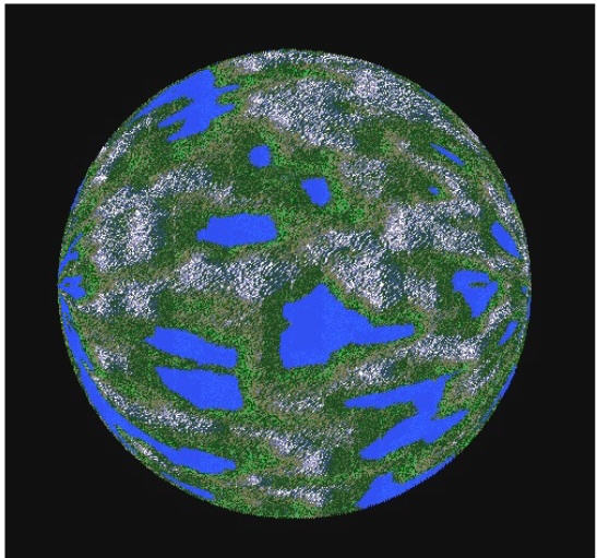
The 2-d, randomly generated "reference" topological map, with the various
elevations represented by the 16-color palette, comes out looking something
like this:
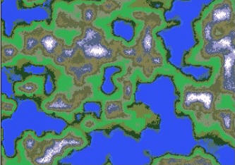
Topological Reference Map
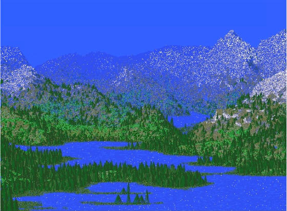
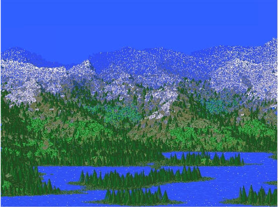
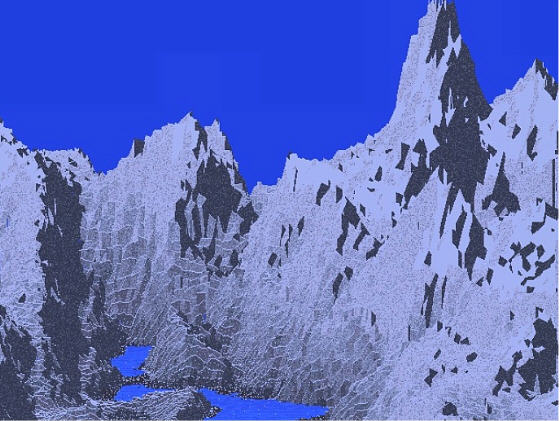
Here are some screenshots of fully rendered
landscapes:
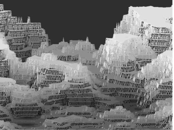
Yet another variation I call "Icetown". In this one, I caused the
elevation heights to jump suddenly from one to the other, rather than
transitioning them gradually. Sort of like electrons jumping from one
shell to the next, with no stops in between.